| Established: | Oct 01, 2006 |
|---|---|
| Time Meridian: | 75° W |
| Present Installation: | Jun 24, 2024 |
| Date Removed: | N/A |
| Water Level Max (ref NAVD88): | 12.323 ft. Feb 18, 2023 |
| Water Level Min (ref NAVD88): | -3.52 ft. Jan 09, 2025 |
| Mean Range: | 1.1 ft. |
| Diurnal Range: | 1.53 ft. |
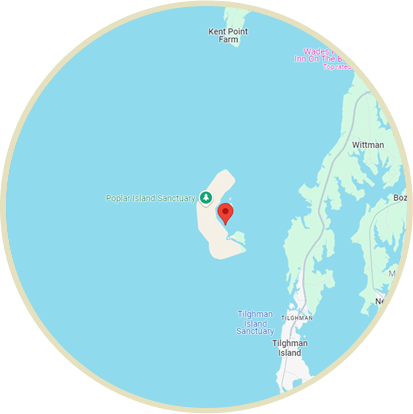
| Latitude: | 38° 45.5 N |
| Longitude: | 76° 22.5 W |
| Met Site Elevation: | N/A |
Poplar Island, MD Station Info
Tide Gauge Data
Disclaimer: Tide gauge releveling is pending; data may not be referenced properly to either NAVD88 or PCD until this correction is completed
Note: The tide gauge has been resurveyed and the data is currently under review
| Date | Time (EST) | Preliminary (ft) |
|---|
Click here to navigate to NOAA’s predicted water levels for this location